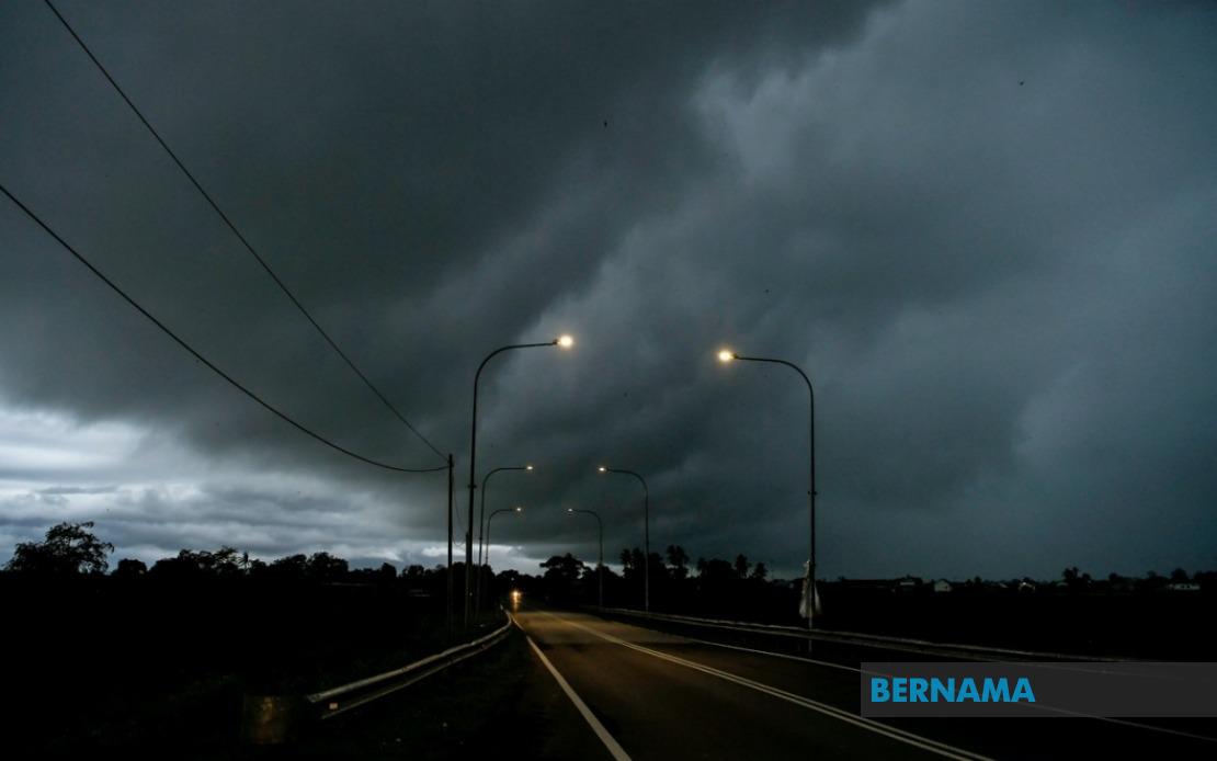
The Malaysian Meteorological Department issued an alert on July 27 for hazardous weather conditions affecting multiple regions across the nation, with forecasters anticipating thunderstorms coupled with heavy downpours and strong winds to dominate until 1 pm. The warning encompasses a significant portion of the country's populated and commercial zones, spanning both Peninsular Malaysia and East Malaysian territories, signalling a broad weather system impacting the region.
In Selangor, the department pinpointed Sabak Bernam as the primary danger zone where residents should expect the most intense rainfall and electrical activity. This coastal district frequently experiences enhanced convective activity during monsoon periods, and the timing of this alert underscores the ongoing atmospheric instability characteristic of mid-year weather patterns in the region. Authorities advised residents in the area to exercise caution when travelling and to secure loose outdoor items that could be dislodged by the anticipated gusts.
Perak's exposure covers four distinct zones stretching from the northern coastal plain through the state's interior. Manjung, Perak Tengah, Bagan Datuk, and Hilir Perak all fall within the warning parameters, meaning the entire western flank of the state faces disrupted weather. This geographical spread suggests a substantial weather system rather than isolated convective cells, potentially affecting transportation and commercial activities across the state's vital industrial and agricultural sectors.
Sarawak's warning extends across nine separate administrative areas, reflecting the expansive nature of the weather disturbance and its reach into East Malaysia. Communities from Betong in the south through to Limbang in the north, alongside interior divisions like Kapit and interior-coastal transitions such as Bintulu, face the incoming system. This widespread coverage across Sarawak indicates that the unstable atmospheric conditions are not confined to peninsular zones but represent a more substantial regional weather phenomenon demanding preparedness across multiple state administrations.
Sabah's exposure similarly demonstrates the breadth of the meteorological event, with three distinct divisions identified as vulnerable. The Interior Division encompasses Sipitang, Kuala Penyu, and Beaufort, while the densely populated West Coast Division—home to Kota Kinabalu and several major urban centres—faces comparable conditions including Papar, Putatan, Penampang, Tuaran, and Kota Belud. Additionally, the Kudat Division in the far north experiences the same weather threat, suggesting a coherent atmospheric system affecting the state's geography from coast to interior.
The Federal Territory of Labuan, Malaysia's federal island jurisdiction, also falls within the warning envelope, with meteorologists expecting the entire territory to experience the full intensity of the weather system. Given Labuan's strategic location and economic significance as a financial centre, the disruption poses logistical challenges for both residents and the business community operating within the federal territory.
Thunderstorm warnings during this period align with typical weather patterns for late July in Malaysia, as the southwest monsoon influences atmospheric dynamics and generates increased convective instability across multiple zones. The combination of heavy rain, lightning, and strong winds presents a confluence of hazards that warrant public caution. Heavy rainfall in particular can trigger flash flooding in low-lying areas and drainage-constrained zones, whilst strong winds pose risks to outdoor structures, vehicle safety, and maritime operations.
MetMalaysia's timebound alert—specifying 1 pm as the warning threshold—provides residents and authorities with a clear operational window for implementing precautionary measures. Transportation authorities typically monitor such alerts closely, as thunderstorm conditions can significantly impair visibility and road grip, necessitating speed reductions and heightened vigilance by commuters. Schools and public institutions in affected zones often adjust schedules based on such meteorological guidance to ensure public safety.
The geographical scope of this warning—encompassing Selangor, Perak, Sarawak, Sabah, and Labuan simultaneously—represents substantial portions of Malaysia's population centres and economic zones. Businesses dependent on reliable weather conditions, including construction sites, outdoor events, and port operations, typically respond to such alerts by implementing contingency protocols. The concurrent nature of the warning across such disparate regions suggests meteorologists have identified a significant atmospheric disturbance rather than isolated thunderstorm development.
For Malaysian residents and visitors, the practical implications centre on exercising heightened caution during travel, securing outdoor items, avoiding unnecessary outdoor activities during peak intensity, and monitoring updated forecasts as the situation evolves. Maritime users face particular risks, given that strong winds and heavy rain create hazardous conditions for small vessels and coastal operations. The alert exemplifies Malaysia's meteorological service's commitment to providing timely, geographically specific warnings that enable communities to respond effectively to weather threats.

