Japan's weather authorities issued urgent warnings on Friday as two separate typhoons converged on the island nation, with both systems expected to bring destructive weather through the weekend. The Japan Meteorological Agency cautioned that Typhoon Higos could make landfall after advancing across the Pacific, while the more immediate threat came from Typhoon Mekkhala, which was already approaching the southwestern regions of the country. The dual systems compounded existing weather challenges, as heavy downpours had already begun affecting both the western and eastern portions of Japan's main islands.
Typhoon Mekkhala posed the more immediate danger, with the system moving toward the Amami region in Kagoshima Prefecture on Friday and forecasters tracking its potential trajectory toward the more densely populated Kanto region by Saturday. Meanwhile, Typhoon Higos was expected to approach from the Pacific with its own destructive potential. The convergence of both systems created a complex meteorological situation that authorities described as unusually challenging, prompting widespread precautionary measures across multiple prefectures.
The scale of the evacuation response underscored the severity of the forecast threat. According to the Fire and Disaster Management Agency, more than 2 million residents across 13 prefectures spanning the Kinki and Kyushu regions had been placed under formal evacuation orders by early Friday morning. In Seika, Kyoto Prefecture, local authorities escalated to the highest level 5 emergency alert classification after a landslide struck the town in the early morning hours, demonstrating how rapidly conditions could deteriorate in vulnerable areas.
The rainfall totals recorded across the preceding days illustrated the intensity of the system already affecting Japan. Goto in Nagasaki Prefecture experienced accumulated rainfall of 600 millimetres between Tuesday and Friday morning, while Aso in Kumamoto Prefecture and Ureshino in Saga Prefecture each recorded precipitation exceeding 500 millimetres during the same period. These figures represented substantial water accumulation that had already saturated soil conditions across multiple regions, creating dangerous ground conditions ripe for additional landslide activity.
Meteorological projections indicated that rainfall would intensify rather than diminish as the weekend approached. The Japan Meteorological Agency warned of particularly heavy precipitation developing across the Tokai and Kanto regions as Typhoon Higos moved northward along Japan's southern coast, with rainfall expected to persist throughout Saturday. The Tokai region faced forecasts of up to 300 millimetres of additional rain by noon Saturday, while the Kanto-Koshin region was anticipated to receive up to 150 millimetres. These additional volumes, falling on already saturated terrain and in conjunction with Typhoon Mekkhala's approach, compounded the risk profile considerably.
While meteorologists expected both typhoons to gradually weaken into extratropical cyclones once they made landfall or approached the main islands, officials urged continued public vigilance regarding secondary hazards. Landslides and flooding represented the most immediate dangers following the passage of typhoons, particularly in mountainous and low-lying areas where water accumulation and slope destabilization posed ongoing threats. The combination of preceding rainfall, incoming precipitation, and the transition phase of weakening tropical systems created an extended window of vulnerability.
Okinawa Prefecture and eastern Japan faced warnings of particularly strong storm systems, reflecting the geographic distribution of both typhoons' projected paths. The weather agency's concern extended beyond simple rainfall figures to encompass the duration and intensity profiles of the storms, noting that conditions would remain unsettled through the weekend as both systems processed across or adjacent to Japanese territory. The timing coincided with weekend periods when many residents might be outdoors or traveling, potentially complicating evacuation and safety efforts.
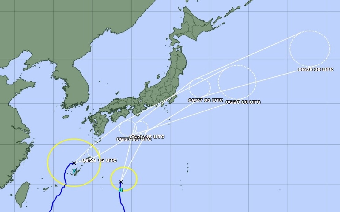
As Friday morning progressed, Typhoon Mekkhala was positioned northeast of Kume Island off Okinawa's coast, moving in a northeasterly direction at 15 kilometres per hour. This forward speed suggested relatively rapid progression toward the threatened regions, leaving limited time windows for final preparatory actions. The positioning and trajectory data informed the meteorological agency's assessment that the weekend would bring the most critical weather conditions, with both typhoons potentially affecting Japanese territory simultaneously or in close succession.
For Southeast Asian observers, the Japanese response provides instructive context regarding how developed meteorological infrastructure and early warning systems function in practice. Malaysia's own monsoon and typhoon preparedness frameworks can benefit from monitoring how Japan coordinates multi-agency responses across prefectures, manages mass evacuations efficiently, and communicates risk levels to the public. The dual-typhoon scenario, while challenging, allows Japanese authorities to demonstrate sophisticated forecasting and response capabilities that represent regional best practices in tropical weather management.