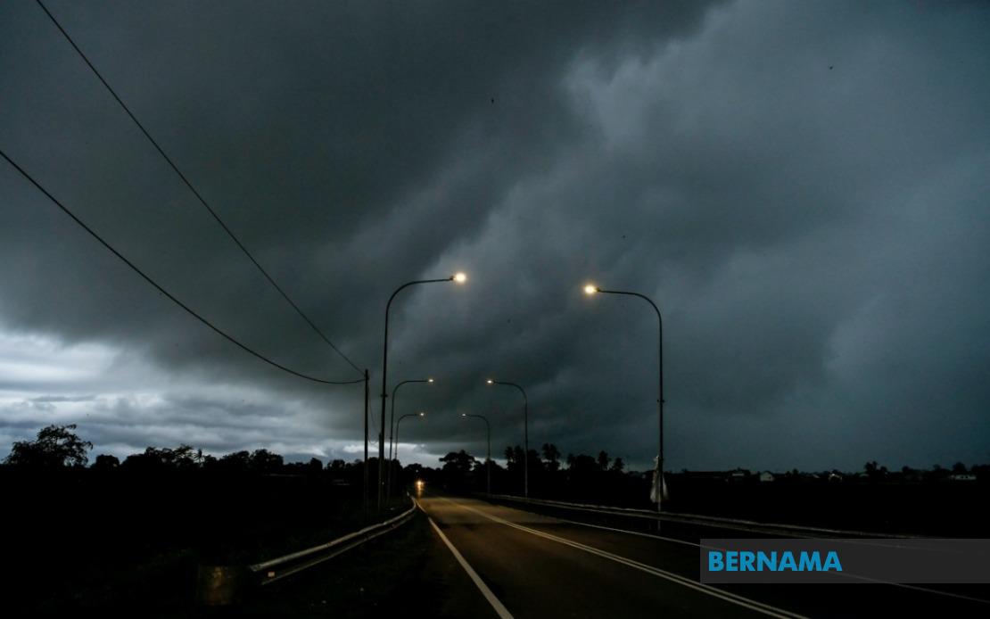
The Malaysian Meteorological Department has issued a comprehensive weather warning encompassing 10 states across Peninsular Malaysia, East Malaysia and the wider region, with conditions expected to deteriorate significantly until 6 pm today. The alert highlights the potential for violent thunderstorms, torrential rainfall and dangerous wind conditions that could disrupt daily activities, transport operations and outdoor work across affected districts.
In the northern region, Perlis faces the full brunt of the warning, whilst Kedah sees several districts placed on alert including Padang Terap, Kuala Muda, Sik, Baling, Kulim and Bandar Baharu. The geographic spread of the warning indicates a weather system of considerable scale, with impacts expected across multiple climate zones and topographies. Perak's involvement extends across a significant swath of the state, covering districts from the coast including Kerian and Larut, Matang and Selama to inland areas such as Hulu Perak, Kuala Kangsar, Kinta, Kampar, Batang Padang and Muallim.
The East Coast experience represents a particularly acute risk zone, with Kelantan seeing warnings affect Pasir Mas, Jeli, Tanah Merah, Machang, Pasir Puteh, Kuala Krai and Gua Musang. Notably, the entire state of Terengganu faces the alert, suggesting meteorologists anticipate particularly severe conditions across the entire coastal corridor. Pahang's involvement brings mountainous and lowland areas into the warning zone, encompassing Cameron Highlands, Lipis, Raub, Jerantut, Bentong, Kuantan, Pekan and Rompin, reflecting the versatility of the weather system across different elevations.
In the Central region, Selangor's exposure is limited to the Hulu Selangor district, likely indicating that the more urbanised and densely populated areas of the state may escape the most severe impacts. Southern Peninsular Malaysia also faces threats, with Johor experiencing widespread alert coverage affecting Batu Pahat, Kluang, Mersing, Pontian, Kulai, Kota Tinggi and Johor Bahru. This distribution across Johor suggests weather systems extending into the southern maritime zones with implications for shipping and maritime activities.
East Malaysian territories face similarly extensive warnings. Sarawak's alert encompasses multiple divisions and districts reflecting the state's geographic complexity, including Kuching with both Bau and central Kuching affected, alongside Betong covering Saratok and Kabong, Sarikei, Sibu incorporating both Sibu and Selangau, Mukah, Bintulu and the northern corridor including Miri across Subis, Beluru, Miri and Marudi, plus Limbang. These widespread alerts across Sarawak indicate significant moisture-laden weather systems impacting the state's interior and coastal regions simultaneously.
Sabah similarly experiences broad geographic coverage with warnings affecting the Interior encompassing Sipitang, Tenom, Kuala Penyu, Beaufort and Tambunan, the West Coast region, Sandakan specifically in Beluran, and the northern territory of Kudat. The mountainous interior of Sabah facing alerts raises concerns about potential flooding in highland drainage systems and risk to communities in low-lying valley areas where water accumulation occurs rapidly during intense precipitation events.
The temporal constraint imposed by the 6 pm cutoff suggests meteorologists expect the system to weaken, stall or move sufficiently by that time to warrant lifting the alert. Residents and authorities should interpret this timeline cautiously, as weather systems frequently deviate from forecasted paths, and conditions may persist or intensify beyond predicted timeframes. The afternoon window remaining before the alert expires requires urgent action from relevant state and local authorities to activate emergency response protocols, position rescue personnel and ensure early warning systems remain operational throughout affected areas.
For Malaysian readers and businesses operating across these regions, the alert carries significant practical implications spanning multiple sectors. Transportation networks including road and rail corridors may experience disruptions from flooding, fallen trees or reduced visibility, whilst aviation activities could face delays or cancellations. Agricultural activities, construction work and outdoor business operations should anticipate stoppages and implement protective measures for assets and personnel exposed to severe weather. Residents in flood-prone localities should consider preventive measures including drainage clearance and evacuation planning for vulnerable family members.
The simultaneous activation across such geographically dispersed territories from Perlis to Sabah reflects the increasingly complex patterns of atmospheric behaviour observed across Southeast Asia. Climate researchers continue documenting shifts in monsoon intensity and thunderstorm frequency, with implications for infrastructure resilience and urban planning. The frequency of multi-state alerts of this magnitude has risen over recent decades, prompting discussions among disaster management agencies regarding resource allocation and inter-state coordination mechanisms for severe weather response.
Authorities responsible for civil protection, emergency services and disaster management have established protocols for such alerts, though implementation capacity varies considerably across jurisdictions. Wealthier urban areas typically maintain more robust early warning systems and response capabilities compared to remote rural districts where communication infrastructure remains limited. The afternoon deadline creates urgency for authorities to complete preparations whilst residents still have daylight hours to take protective action before storm conditions potentially worsen during evening hours when visibility decreases and emergency response becomes more challenging.

