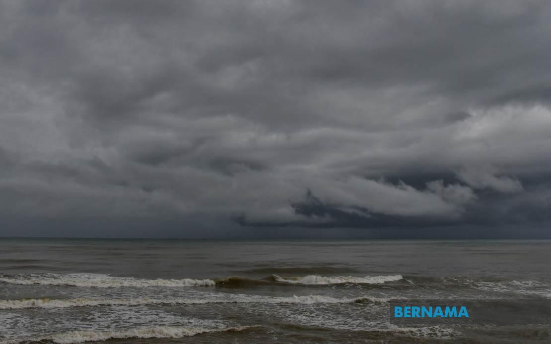
The Malaysian Meteorological Department (MetMalaysia) has cautioned residents and commuters across multiple regions to prepare for hazardous weather conditions expected to persist throughout today, with thunderstorms, intense rainfall, and powerful wind gusts forecast until 9 pm. The weather alert underscores the intensity of the atmospheric disturbance sweeping across the nation, affecting both the peninsula and the Malaysian territories in Borneo, requiring immediate attention from residents in vulnerable areas.
In Peninsular Malaysia, the northwestern states of Perlis and Kedah face significant exposure to the incoming system. Within Kedah, the alert encompasses several districts including the island resort of Langkawi alongside interior regions such as Kubang Pasu, Padang Terap, Sik, and Baling, as well as the northern commercial centre of Bandar Baharu and the industrial hub of Kulim. This geographic spread indicates the broad reach of the weather disturbance across the state's varied topography and population centres.
Perak has been similarly targeted by MetMalaysia's warning, with seven administrative divisions placed under alert status. The affected areas span from the coastal Kerian district through to interior regions including Larut, Matang and Selama, which encompasses the tin-mining heritage areas of the state. The warning extends to Hilir Perak in the south, Batang Padang in the centre, and Muallim, indicating that virtually the entire width of the state from west to east faces potential severe weather impacts.
The Klang Valley conurbation, Malaysia's economic heartland, also falls within the warning zone. MetMalaysia has identified Kuala Lumpur and several Selangor districts as vulnerable, including the coastal Sabak Bernam and Kuala Selangor areas in the north, the semi-urban Hulu Selangor, the industrial Klang district, and the densely populated Gombak and Petaling municipalities. Given the concentration of commercial, residential, and transportation infrastructure in this region, severe weather poses particular disruption risks.
In the southern peninsula, Johor's major urban centres face the threat, with both the commercial and port city of Johor Bahru and the industrial Kulai district placed under warning. The alert's inclusion of these economically significant areas suggests potential complications for regional trade and logistics operations should the storms develop as forecast.
Across the South China Sea in Sabah, the meteorological threat spans diverse terrain and population distributions. MetMalaysia's warning covers the mountainous Interior division, the economically vital West Coast region encompassing both the state capital Kota Kinabalu and surrounding districts such as Papar, Putatan, Penampang, Tuaran, and the highland Ranau area. The eastern Sandakan division, including Tongod, Telupid, and Beluran, also faces the incoming system, suggesting that the entire state's geography from highlands to coastal plains requires precautionary measures.
In Sarawak, the warning focuses on specific interior and northern regions. The Kapit division, encompassing Kapit town, Bukit Mabong, and the remote Belaga district, represents one of the state's primary river systems and traditionally flood-prone areas. The northern divisions of Miri and Limbang, which border Brunei and include important oil and gas infrastructure, also feature prominently in the alert, indicating widespread exposure across the state.
Labuan, the federal territory situated strategically in the Sulu Sea, has likewise been included in the warning, suggesting that the weather system affects even the offshore administrative zones. The inclusion of this relatively small territory in the alert underscores the geographic extent of the meteorological disturbance.
Thunderstorm warnings of this geographic scope typically correlate with significant monsoonal influences or organised convective systems moving through the region. For Malaysian residents and businesses, the immediate concern centres on potential flooding in low-lying areas, disruption to transportation networks during peak evening commute hours, and temporary utility interruptions. Urban areas with inadequate drainage infrastructure face particular vulnerability, while coastal and river communities should exercise heightened caution regarding water levels.
Commuters should anticipate delays on major highways and public transportation systems, particularly in the Klang Valley and other urban centres where the warning overlaps with population concentrations. Motorists are advised to exercise extreme caution during heavy downpours when visibility diminishes sharply. The timing of the warning—concluding at 9 pm—suggests the most intense phase may occur during early evening hours, coinciding with rush-hour traffic patterns.
For businesses and economic activities, the alert carries implications for supply chains and operational continuity, particularly given the inclusion of major commercial hubs and port facilities in Johor and the Klang Valley. Agricultural operations across the peninsula and Borneo should also factor the heavy rainfall into harvesting and field management decisions, though such precipitation may benefit paddy planting schedules in appropriate seasons.
Residents in flood-prone localities should monitor MetMalaysia's updates vigilantly, as the agency may upgrade warnings or issue flash flood alerts should rainfall intensity exceed forecast parameters. The alert duration until 9 pm suggests that conditions should gradually stabilise thereafter, though meteorological situations can evolve unpredictably. Preparedness measures such as securing loose outdoor items, charging electronic devices, and keeping emergency contact numbers accessible remain prudent precautions during such weather events.

