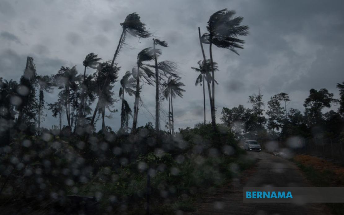
The Malaysian Meteorological Department (MetMalaysia) has activated a weather warning system covering multiple regions across the country, alerting residents to prepare for thunderstorms, heavy rainfall and gusty winds persisting through the early evening hours of July 26. The alert, which extends to 6pm, encompasses districts spanning the peninsula's west and east coasts, along with significant population centres in the two Malaysian states on Borneo.
Across the northern peninsula, Kedah's popular tourist destination of Langkawi faces potentially hazardous conditions. In Perak, six districts have been flagged as vulnerable, including the highland regions of Kinta and the low-lying areas of Hilir Perak and Batang Padang. The state's central and northern sections face particular risk from the developing weather system. The east coast of Peninsular Malaysia bears the brunt of the warning, with Kelantan experiencing coverage across its entire territory. Nine distinct areas in the state—stretching from the northern boundary at Tumpat through the central highlands and down to Kuala Krai in the south—have been placed under alert.
Terengganu's eastern districts also feature prominently in MetMalaysia's advisory. The four affected areas—Besut, Setiu, Kuala Nerus and Kemaman—form a band along the state's coastline and interior, suggesting the weather system is moving inland from the South China Sea. Pahang, Malaysia's largest peninsula state, shoulders an extensive warning covering nine separate districts. The alert encompasses both highland regions like Cameron Highlands and Lipis, through to the central lowlands of Temerloh and Pekan, indicating the storm system's broad geographic reach. Two districts in Selangor—Hulu Selangor and Gombak—have also been included, suggesting the system's western extension toward the heartland.
Southern Peninsular Malaysia remains affected, though with less intensity than the east coast. Negeri Sembilan's Jempol and Tampin districts face the warning, while Johor experiences coverage across five southern districts including the popular tourist area of Mersing and the Straits-facing region of Kota Tinggi. This southern extension indicates a complex, multi-directional weather pattern rather than a simple frontal system. The breadth of the warning across the peninsula demonstrates MetMalaysia's assessment of a significant atmospheric disturbance affecting multiple regions simultaneously.
In Sabah, the warning fragments across the state's diverse topography. The interior divisions of Sipitang, Tenom, Beaufort, Keningau and Tambunan represent the mountainous spine of the state, while the west coast commercial hub receives coverage in five districts including the state capital Kota Kinabalu, home to over half a million residents. The inclusion of Lahad Datu in the Tawau division and Kinabatangan in Sandakan demonstrates that even peripheral regions are not exempt from the threatening conditions. The geographic scatter of affected areas suggests that Sabah faces multiple localized storm cells rather than a unified weather system.
Sarawak's alert coverage extends across three distinct regions, indicating the storm activity has travelled across the South China Sea to affect Malaysian Borneo. Tatau and Sebauh in Bintulu division, located on the central coast, appear as the southernmost alert zone. Subis in Miri division and Limbang in the north suggest the system encompasses the entire Sarawak coastline. The inclusion of these districts indicates residents and maritime operators should exercise heightened caution throughout the evening period. The warning's extension to include both Malaysian states on Borneo underscores the spatial scale of the meteorological event unfolding across the broader Southeast Asian region.
MetMalaysia's tiered geographic approach to the warning reflects contemporary meteorological understanding of tropical storm systems and monsoon patterns affecting Malaysia during this season. The concentration of alerts on the east coast of Peninsular Malaysia aligns with typical July weather patterns, when the southwest monsoon dominates, bringing moisture-laden winds across the peninsula's eastern seaboard. However, the warning's expansion to western districts and across to Borneo suggests an unusual intensity or trajectory for the current system. Residents in affected areas should monitor local media updates, as MetMalaysia may extend or modify the alert depending on atmospheric conditions.
The practical implications for affected communities are substantial. Heavy rain in highland regions can trigger flash flooding in valleys and low-lying areas downstream, while strong winds pose risks to construction sites, outdoor structures and vegetation. Coastal and maritime areas face potential hazards from rough seas accompanying the thunderstorms, affecting fishing operations and coastal transport. Traffic conditions may deteriorate on major routes intersecting affected districts, particularly in Peninsular Malaysia's densely populated zones. Schools and public facilities in these areas typically implement weather-related protocols, potentially affecting schedules and service delivery through the remainder of the afternoon and evening.
The evening deadline of 6pm suggests MetMalaysia's meteorologists anticipate the system's progression or weakening by that hour. However, tropical weather systems can prove unpredictable, and communities should remain vigilant for any extension of the alert. The comprehensive nature of this warning, spanning multiple states and encompassing both coasts of Peninsular Malaysia plus Sabah and Sarawak, underscores the importance of maintaining weather awareness during Malaysia's monsoon seasons. Residents, businesses and government agencies across these regions are urged to implement standard severe weather precautions, including securing outdoor items, avoiding unnecessary travel and staying informed through official channels as conditions develop through the remainder of the day.

