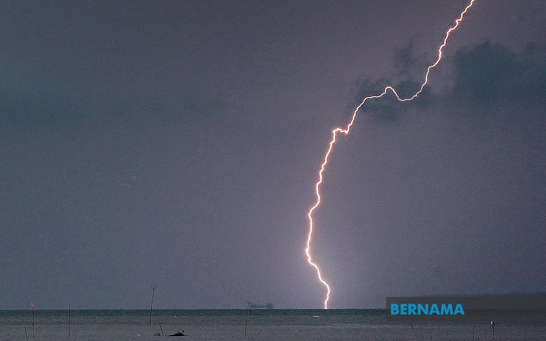
The Malaysian Meteorological Department issued an urgent weather advisory on July 22, alerting residents and motorists across significant portions of the country to prepare for dangerous atmospheric conditions expected to persist until early evening. The alert encompasses a broad geographic swath, from the northern peninsula through to East Malaysia, indicating an extensive weather system affecting millions of Malaysians during the afternoon period.
In Kedah, the Baling district faces the brunt of anticipated severe weather, while Perak experiences one of the most widespread impacts across the country. The affected regions of Perak span a considerable area, encompassing Manjung, Kinta, Perak Tengah, Kampar, Bagan Datuk, Hilir Perak, Batang Padang and Muallim. This distribution across both coastal and inland zones suggests the weather system has substantial depth and horizontal extent, capable of generating intense convective activity across diverse terrain and altitudes.
The east coast states have not been spared from the deteriorating conditions. Terengganu faces particular vulnerability, with seven districts identified as at-risk zones: Setiu, Kuala Nerus, Hulu Terengganu, Kuala Terengganu, Marang, Dungun and Kemaman. Meanwhile, Pahang's highland and lowland areas alike prepare for severe weather, with the Cameron Highlands plateau region of Tanah Tinggi joining interior districts of Lipis and Jerantut, alongside the major urban centre of Kuantan. The Pahang warning demonstrates that elevation provides no refuge from this particular system, which poses risks to both highland tourists and lowland populations.
Selangor's strategic location in the central corridor places multiple urban and suburban districts in the warning zone. Sabak Bernam on the northern coast, the riverside municipality of Kuala Selangor, the interior zone of Hulu Selangor, and the rapidly expanding Gombak district all face the anticipated hazardous conditions. Given Selangor's position as Malaysia's economic powerhouse and most densely populated state, the alert carries implications for commerce, transportation and the daily routines of millions of commuters and residents.
Johor's southern peninsula position brings six districts into the alert framework. The warning encompasses Kluang and Mersing in the east, Pontian in the west, plus the central and northern zones represented by Kulai, Kota Tinggi and the state capital Johor Bahru. This distribution suggests the weather system possesses both latitude and longitudinal extent, affecting the entire state from coast to coast and north to south. For travellers and those transiting between Peninsular Malaysia and Singapore, conditions warrant heightened caution.
Sabah, representing Malaysia's largest state by area in East Malaysia, faces threats across multiple geographic zones. The Interior division encompassing Kuala Penyu, Beaufort and Tambunan joins the West Coast region, while coastal Sandakan faces additional hazards concentrated in the Beluran district, and the far northern zone of Kudat enters the warning perimeter. The geographic dispersion across Sabah, from interior highlands to maritime zones, indicates a system capable of affecting diverse microclimates and population centres simultaneously. Federal Territory Labuan, strategically positioned off the coast, likewise faces the same threatening conditions.
Thunderstorms of the intensity and geographic breadth indicated by this alert typically pose multiple hazards warranting public awareness. Heavy rainfall driven by convective updrafts creates immediate flooding risks in low-lying areas, river systems and urban drainage-constrained zones. Strong winds accompanying such systems present dangers to structures, vehicles, and outdoor activities. Lightning associated with thunderstorm activity poses electrocution risks to those outdoors. The combination of these hazards during afternoon hours, when many Malaysians remain engaged in outdoor work, commuting and commercial activity, underscores the importance of heeding meteorological warnings.
For residents and businesses within affected areas, the afternoon timeline through 5pm provides a finite window for preparatory measures. Securing loose outdoor items, adjusting travel plans, deferring outdoor construction activities, and monitoring weather updates represent sensible precautions. Agricultural operations in rain-dependent sectors may experience benefits from the moisture input, though flooding poses countervailing risks to crops and infrastructure. Transportation authorities across affected states should anticipate potential disruptions to rail, road and maritime services depending on actual storm intensity and track.
This warning exemplifies the Malaysian Meteorological Department's role in providing real-time hazard communication to the public, allowing individuals and organisations to make informed decisions protecting life and property. The specificity of district-level alerts enables local authorities to mobilize resources preemptively and provide community guidance proportionate to actual risk. The geographic scale of this particular alert—spanning from northern Kedah through central regions to southern Johor and extending to East Malaysian Sabah—reflects the kind of extensive weather systems that periodically affect Malaysia during the southwest monsoon season.
Members of the public in the identified districts should remain alert to weather developments and heed guidance from local authorities. The Malaysian Meteorological Department continues monitoring atmospheric conditions and will issue updates should the warning require extension, modification or escalation. Residents should keep emergency contact numbers readily available and ensure mobile devices remain charged, particularly given the afternoon timing when power outages may occur alongside severe weather impacts.

