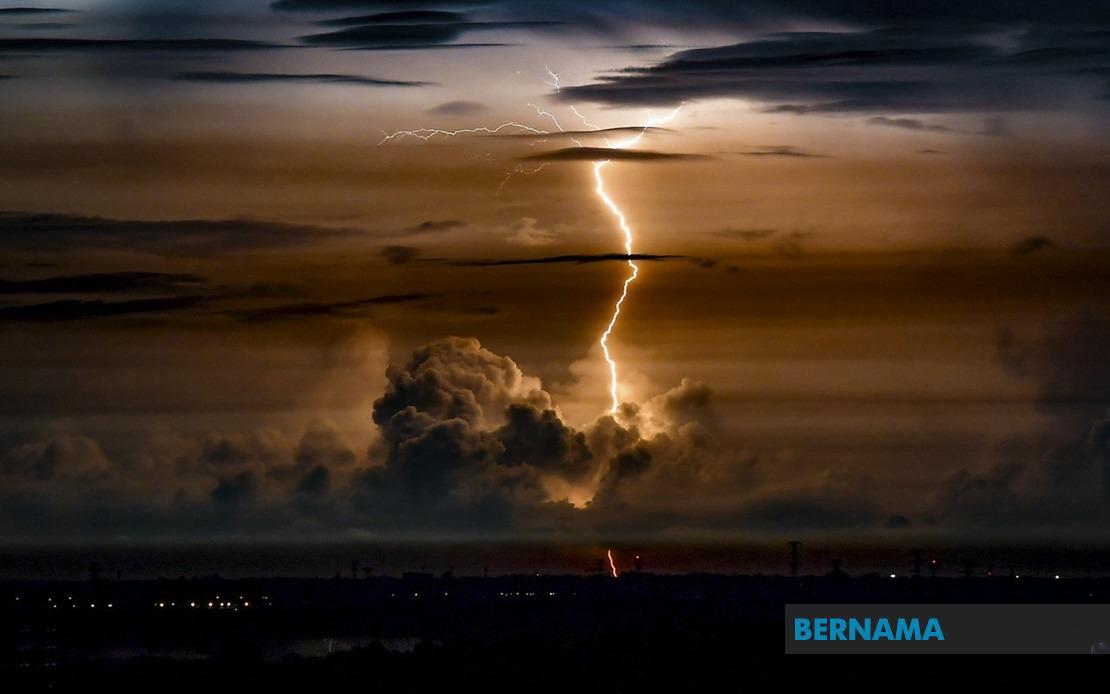
The Malaysian Meteorological Department has activated a severe weather alert covering significant portions of Peninsular Malaysia, forecasting the arrival of thunderstorms accompanied by heavy rain and strong winds that will persist until 9 o'clock this evening. The warning encompasses populated areas across the west and east coasts, raising concerns about potential disruptions to transport, commerce, and daily activities across the affected regions.
Peninsula's central western state of Perak faces particular risk, with MetMalaysia specifically identifying the districts of Bagan Datuk, Muallim, Hilir Perak, and Batang Padang as zones requiring heightened vigilance. These areas have experienced flooding during previous monsoon seasons, making them especially vulnerable to sudden downpours. The warning for Perak reflects the meteorological department's assessment that the state's topography and drainage patterns may struggle with intense precipitation within a concentrated timeframe.
On the eastern coast, Terengganu and Pahang are expected to experience the full force of the storm system, whilst Johor's Mersing district—a popular tourist destination—has also been placed under alert. The timing coincides with the peak holiday season for many Malaysian families, potentially affecting beach activities and coastal transportation. Mersing's exposure to rough seas during severe weather events makes this particular advisory especially significant for maritime safety and tourism operations in the area.
The western zone around Selangor faces disruption across multiple districts including Sepang, Klang, Sabak Bernam, Kuala Selangor, and Kuala Langat. Sepang and Klang are particularly critical given their status as major transportation hubs and industrial zones. Heavy rainfall in these areas could trigger congestion on highways, impact air and sea operations, and affect workers commuting to manufacturing and logistics facilities that sustain the region's economy.
Negeri Sembilan's Port Dickson—a key commercial port handling significant cargo volumes—requires special attention, as strong winds and heavy rain could disrupt port operations and vessel movements. The district of Rembau inland faces flooding risks typical of the state's hilly terrain, where flash flooding can occur rapidly in low-lying areas and river valleys. Both localities are bracing for infrastructure challenges that may extend beyond the formal warning period.
Melaka's Alor Gajah and Melaka Tengah districts complete the list of affected areas. These zones have recorded flooding incidents in previous years, particularly in residential and commercial areas proximate to rivers and drainage systems. Authorities in the state are likely preparing contingency measures given the state's vulnerability to weather events that coincide with poor drainage management.
The meteorological department's specificity in identifying individual districts rather than issuing blanket state-wide warnings indicates a sophisticated assessment of precipitation patterns and regional risk factors. This granular approach helps local authorities, emergency services, and residents calibrate their preparedness measures. However, the concentration of warnings across both peninsula coasts suggests a significant weather system is moving through Malaysian airspace with substantial intensity.
Thunderstorms of this magnitude carry multiple hazards beyond rainfall. Strong winds can topple trees, damage structures, and create hazards for vehicles on highways. Lightning strikes pose electrocution risks to those caught outdoors. Heavy rain, particularly when combined with strong winds, can overwhelm drainage systems and trigger flash flooding in urban areas with inadequate stormwater infrastructure. The cumulative impact can isolate communities, disrupt supply chains, and strain emergency response services.
The 9 pm deadline represents MetMalaysia's current forecast window, though weather systems can evolve unpredictably. Residents and authorities should remain vigilant for potential warning extensions or upgrades. Schools, universities, and businesses in affected areas may need to activate contingency protocols, including early dismissals or temporary closures. Public transportation operators should prepare for potential service disruptions and advise commuters of alternative arrangements.
For Malaysian and Southeast Asian context, this weather pattern underscores the region's vulnerability to intense precipitation events during monsoon transitions. Climate scientists have noted increasing frequency and intensity of such events across maritime Southeast Asia, raising questions about urban planning, infrastructure resilience, and disaster preparedness. Countries facing similar exposure—including Thailand, Vietnam, and Indonesia—have grappled with comparable challenges as urbanisation outpaces drainage system capacity.
The warning also highlights the critical role meteorological services play in mitigating weather-related disasters. MetMalaysia's ability to issue timely, location-specific alerts enables proactive responses that protect lives and property. However, the effectiveness of such warnings depends equally on public awareness, compliance with safety advisories, and coordination among various government agencies responsible for emergency management, transport operations, and infrastructure maintenance.
Residents in warned areas should secure loose outdoor items, avoid unnecessary travel during peak storm hours, and stay informed through official channels. Those in flood-prone zones should prepare emergency supplies and identify evacuation routes. Drivers should exercise extreme caution, as visibility deteriorates significantly during heavy downpours and lightning strikes pose electrocution hazards. Businesses depending on continuous operations should implement backup systems for power and communications.

