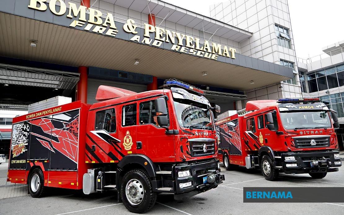
A magnitude 5.7 earthquake centred approximately 55 kilometres southwest of Langsa in North Sumatra sent tremors through Malaysia's Klang Valley on July 22, prompting emergency services to investigate reports from three separate buildings across the region. The seismic event, detected at 12.18 pm local time, was felt across multiple business and administrative districts in and around the capital, triggering a coordinated response from the Fire and Rescue Department of Malaysia (JBPM) that underscored the readiness of civil defence mechanisms in the wider Selangor and Kuala Lumpur corridor.
The first alert reached JBPM's Selangor operations centre at 12.31 pm when tremors were reported at the Kajang Municipal Council building. Within minutes, the department fielded a second emergency notification at 12.40 pm from INTI International College Subang, situated along Jalan SS15. Selangor JBPM assistant director of operations Ashrul Riezal Asbar confirmed that rapid-response teams mobilised from both the Kajang and Subang Jaya stations conducted comprehensive structural assessments at these locations. Their findings proved reassuring: despite the palpable movement felt by occupants, no visible cracks or compromises to building integrity materialised, allowing normal operations to resume at both facilities.
A third incident report came through the Kuala Lumpur JBPM command centre at 12.32 pm, just minutes after the initial tremor reached the region. Menara B2 Maju Link, a mid-rise office complex located on Jalan Lingkaran Tengah 2 in Bandar Tasik Selatan, had experienced sufficient ground motion to prompt a precautionary evacuation. The Sungai Besi fire station deployed personnel to the scene, where they discovered that most building occupants had already voluntarily left their workstations and gathered in designated outdoor assembly areas. This self-directed evacuation reflected both the duration of the tremor—approximately 15 seconds—and heightened awareness among occupants following the initial jolt.
Upon arrival at Menara B2 Maju Link, the fire and rescue team executed a detailed structural inspection following protocols designed to assess earthquake damage. The examination revealed no cracks, fractures, or signs of compromised structural systems. Emergency response personnel confirmed the building remained fully safe for continued occupation, allowing employees to return to their workstations and resume business operations without delay. The efficiency of this assessment process—completed within minutes of the team's arrival—demonstrated the preparedness of Malaysia's civil emergency infrastructure to handle seismic events despite their relative rarity in the region.
The earthquake's impact on public consciousness proved just as significant as its physical effects on infrastructure. Social media platforms, particularly the Threads network, became a real-time information hub as residents across Shah Alam and surrounding areas sought to understand what they had experienced. Users flooded the platform with personal accounts, comparing notes about the sensation and duration of tremors felt at different locations. This organic information-sharing served multiple functions: it provided reassurance to those uncertain whether the movement they felt was genuine, it created a distributed awareness network that complemented official emergency channels, and it reflected the modern pattern whereby Malaysians now instinctively turn to digital communities for immediate context during potentially alarming events.
One Threads user identified as 'nabilaishah', situated in Section 26 of Shah Alam, posted a brief observation about the tremors before the situation normalised within moments. The post exemplified how individuals process unusual phenomena in real time, documenting their immediate experience for others experiencing the same event simultaneously. Similarly, another user, 'nadiaxzailan', initially questioned whether the vibrations she felt at her workplace were genuine or imaginary. Only after consulting with nearby colleagues and checking social media feeds for corroborating accounts did she conclude confidently that an earthquake had occurred. Her description captured a common contemporary phenomenon: individuals now validate sensory experiences through digital collective verification rather than relying solely on their own assessment.
The pattern of tremor reports concentrated in the Klang Valley corridor—encompassing Kajang, Subang Jaya, Shah Alam, and Bandar Tasik Selatan—reflected how seismic waves from distant sources distribute unevenly across regions due to geological substrate variations and urban building characteristics. These three formal emergency reports to JBPM represented only the most significant incidents where building occupants deemed the tremors sufficiently alarming to trigger official notifications. Countless other individuals across the region likely experienced the same earthquake but did not contact emergency services, instead conducting informal assessments and determining that their immediate environment posed no risk.
The earthquake's origin in North Sumatra, while geographically removed from Malaysia by more than 300 kilometres, nonetheless produced perceptible effects across the national border. This geographical relationship highlights the interconnected tectonic nature of the broader Southeast Asian region, where subduction zones and fault systems generate seismic energy that propagates across national boundaries. For Malaysia, which sits within a relatively stable continental plate environment, earthquakes of distant origin typically produce modest tremor sensations without structural consequences. The July 22 incident followed this expected pattern, with measurable ground movement registered but no significant damage materialising at any inspected location.
The response coordination between JBPM's Selangor and Kuala Lumpur divisions demonstrated institutional preparedness for multi-site simultaneous incidents. Rather than resources becoming overwhelmed by multiple concurrent reports, the department efficiently deployed teams from appropriate stations to each location, maintained operational continuity, and completed assessments within an appropriate timeframe. This capability reflects training protocols and resource allocation decisions made over years of emergency management planning, even though major damaging earthquakes remain statistically uncommon within Malaysian territory.
For residents and businesses across the Klang Valley, the incident reinforced awareness of their region's exposure to seismic phenomena originating from the broader ring of fire and active tectonic zones that characterise Southeast Asia's geological setting. While the 5.7 magnitude event produced only minor tremors and caused no reported injuries or damage, it served as a timely reminder of the importance of understanding building evacuation procedures, recognising natural hazard signals, and maintaining structural safety standards. The rapid response and comprehensive assessments conducted by JBPM provided practical reassurance that institutional mechanisms exist to verify building safety when such events occur.

